![]()
West Africa Fisheries Programme – Liberia. Participatory Survey for Fisheries Resource Assessment
The objective of the assignment was to support the Bureau of National Fisheries in undertaking a participatory survey to identify the fisheries resources to be managed by the Co-Management Association at Robertsport and to propose potential territorial use rights (TURFs) boundaries.
Specific tasks undertaken included:
-
-
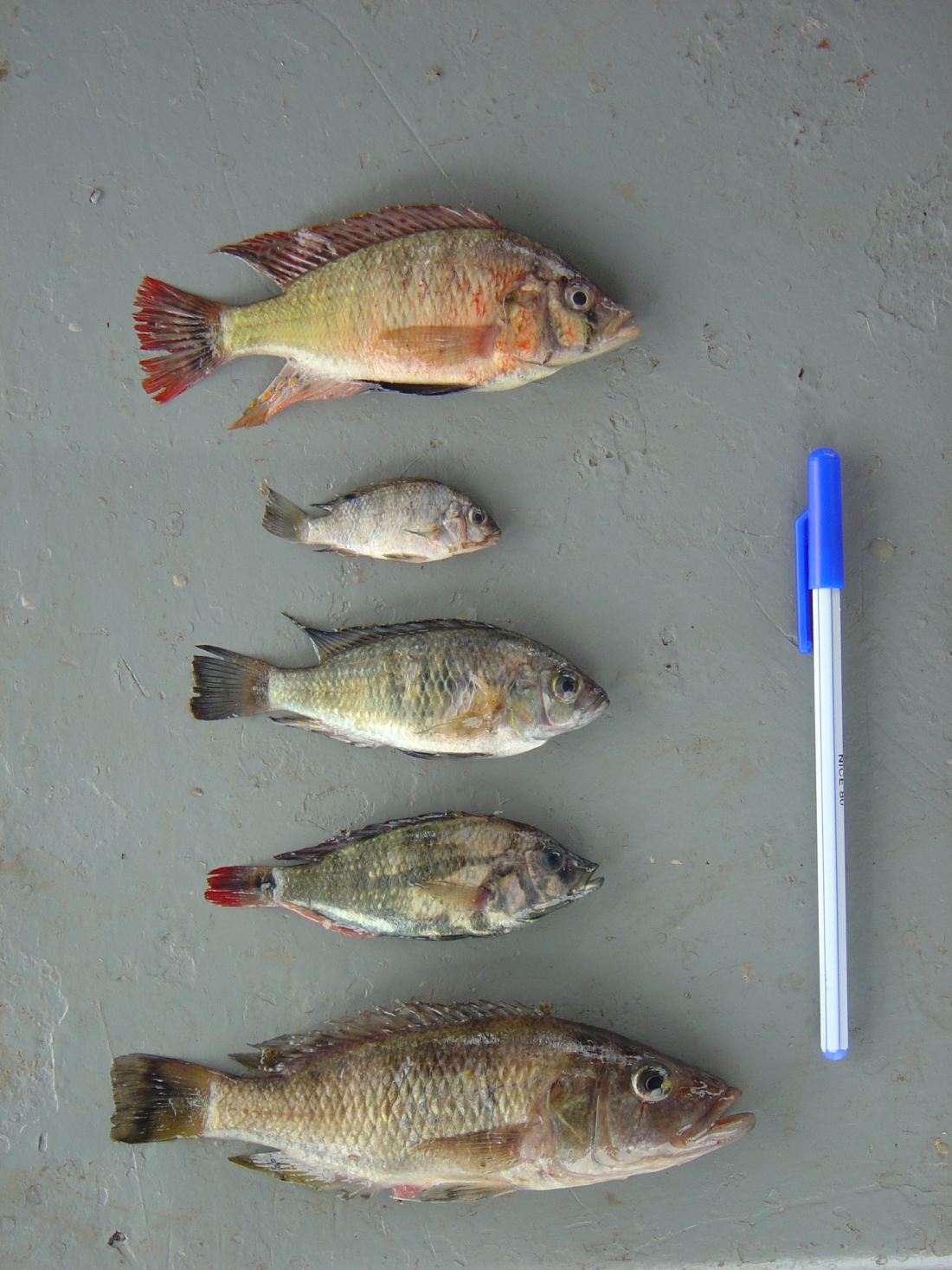
Leading a participatory fisheries resource assessment, with participation from the Kru and Fanti fishing communities in Robertsport, utilizing such participatory assessment tools as fishers indigenous knowledge, resource maps, transects, trend diagrams, survey and key informant interviews.
-
Working with the community participants to analyse and report on the findings of the assessment.
-
Identification of technical aspects of the fisheries, including type (subsistence/small-scale/commercial/industrial), boats, fishing gear/technology, species harvested, resource use patterns during the year, fishing areas; species composition in the area and species targeted; level of exploitation; and history of resource use and exploitation
-
Providing data on the physical setting of marine and coastal resources, ambient environment, climate, oceanography (bathymetry, current/circulation patterns, tidal flows, water quality, runoff patterns, substrate), important habitats (coral reef, seagrass, mangroves, wetlands, beaches, soft-bottoms, estuaries, lagoons, bays)
-
Preparation of maps including a base features map, resource use map, fishing area and pattern map, and coastal and marine habitat map
-
Identification on a map of proposed TURF boundaries
-